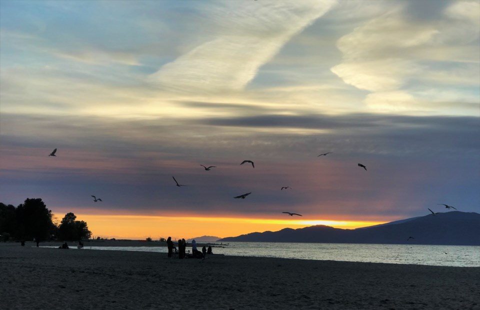
After weeks of almost no cloud or precipitation, Metro Vancouver will be getting a little bit of both this upcoming week.
While the forecast doesn't have anything dramatic, Environment Canada meteorologist Ross Macdonald says things are going to be a little different this week, compared to July and early August.
"We are seeing a change in the weather pattern from some of the warmer days," he tells V.I.A. "This week, as we step into the middle of August we're going to see temperatures return to more seasonal values."
Essentially, the most recent ridge of high pressure that's been keeping regional temperatures above the seasonal averages is experiencing little disturbances, which has weakened it. Those disturbances will hang around for the first couple of days of the week.
"It's a little bit of a different story than what we've seen the last few weeks here," Macdonald says.
That means on Monday, Aug. 12, the early morning risers might notice clouds at dawn, with a low chance of patchy showers across the region.
"It's not too significant, but some of the pavement could be wet with some of these showers," he says.
However, that won't last too long and before lunch time it should be sunny and clear. Temperatures will peak around 21 C at the Environment Canada station at Vancouver International Airport. Weatherhood's stations in Vancouver show highs between 19 C and 21 C.
Tuesday may be even cloudier, though it will likely follow the same pattern when it comes to precipitation, according to Macdonald.
"Somewhere in the neighbourhood of up to 9 a.m., the risk of showers is going to be there," he tells V.I.A.
However, it will likely stay cloudy for the day.
"It's a change in the pattern we've seen that we've been under for a while now," Macdonald says of the weak early week weather. "This is actually a subtle, welcome change — a little cooler for those who want a reprieve."
Wednesday and Thursday should see clearer skies, as the weak disturbances move on, but temperatures will remain around the normal levels for the season, in the low 20s.
However, another change is likely Friday, as a low pressure trough slow edges into the area, bringing with it unsettled weather.
That means temperatures will likely drop below the seasonal averages to around 19 C, and the chance of showers will rise. While it's difficult how things will look beyond next Saturday, Macdonald says the models show more of the same.
"For the second half of August...the signal we're seeing on some of the modes is that it will be gerally at or slightly below seasonal temps," he says.


