Metro Vancouverites may still see significant snowfall before a drier trend emerges later this week.
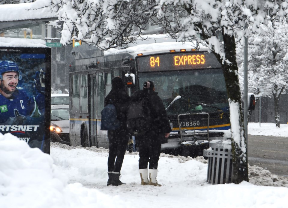
Many locals in the Lower Mainland woke up to a wintry wonderland on Sunday, Feb. 2 as a cold blast of Arctic air clashed with a moist, low-pressure system moving off Vancouver Island.
Based on Environment Canada's weather summaries, snowfall accumulations varied across the Lower Mainland by noon on Sunday, with 10 cm in Downtown Vancouver, 16 cm in East Vancouver, 9 cm in Richmond, 10 cm in Westwood Plateau (Coquitlam), 12 cm in South Vancouver, 20 cm in Lynn Valley, and 14-24 cm in West Vancouver.
Environment Canada Meteorologist Alyssa Charbonneau told V.I.A. the main risk for heavy snow is shifting to Vancouver Island but communities in Metro Vancouver could still see a significant accumulation at some point over the next 24 hours.
Localized flurries are expected throughout the day and overnight on Monday, with the daytime high of 2 C several degrees below the seasonal average (7 C) and dropping to -2 C overnight. Strong 30 km/h winds will make the frigid overnight low feel cooler, with the windchill making temperatures feel more like -7 C.
Tuesday morning's forecast includes flurries with up to 2 cm of snowfall accumulation. Widespread snowfall is unlikely but "we aren't out of the woods completely," Charbonneau added.
"We have a combination: an Arctic ridge of high pressure met a low-pressure system [that is] bringing bands of moisture. It can be kind of unsettled and give locally heavy amounts," she said.
"As we go forward this week the chance of snow will start to drop heading into Wednesday."
Metro Vancouver weather forecast includes bone-chilling cold
As the chance of snow eases, powerful winds gusting from the Fraser Valley will produce bone-chilling cold; the dry arctic air will become more dominant.
Temperatures already several degrees below seasonal averages will feel significantly colder, with parts of the Fraser Valley and eastern Metro Vancouver experiencing -20 C windchill. Temperatures at Vancouver International Airport (YVR) could feel as cold as -10 C or lower.
Charbonneau notes that the city of Vancouver and other parts of Metro Vancouver may not experience the deep freeze if sheltered from the gusty winds. However, these areas will still experience temperatures below the seasonal averages.
"We haven't had a lot of winter weather this year. Dress appropriately for the weather. And if you are in really cold areas, take breaks and go inside," she said.
People travelling across the province should anticipate wintry weather conditions. Other areas, including Vancouver Island and B.C.'s mountain passes, are under a winter storm watch.
Charbonneau said the local cold spell should gradually ease by the end of the week and into next week. However, it won't be a "major warm up" and a relatively dry pattern should persist.
Stay up-to-date with hyperlocal forecasts across 50 neighbourhoods in the Lower Mainland with V.I.A.'s Weatherhood.
.jpg;w=120;h=80;mode=crop)

