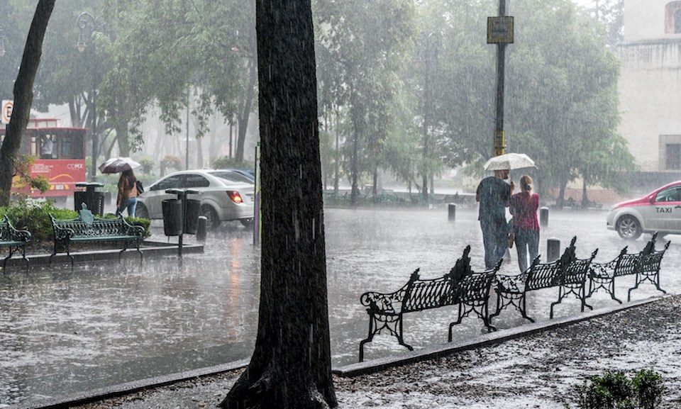
An atmospheric river is expected to bring significant rainfall to the south B.C. coast this weekend.
Environment Canada Meteorologist Colin Fong says locals should brace for several wet days as a storm moves into Metro Vancouver starting overnight Friday, March 7.
Temperatures with daytime highs around 10 C and overnight lows around 3 C are expected in the seven-day forecast, although the atmospheric river will keep overnight lows several degrees above the seasonal average over the weekend.
While the system will bring plenty of moisture and milder temperatures to the region, it won't produce significantly warmer temperatures typically associated with atmospheric rivers. These storms often raise the freezing level above 1,000 metres.
"The system is bringing in mild air but not pumping up the freezing levels," he explains. "It's not tapping into the true warm tropical air we usually see. It is a modified atmospheric river."
Saturday is expected to receive the heaviest rainfall, with amounts totalling 50 to 80 mm across most of Metro Vancouver, while some areas, such as the North Shore, may receive 80 to 100 mm.
Environment Canada issues a rainfall warning if precipitation exceeds 40 mm in 24 hours.
"This wide range in amounts is due to the uncertainty of the atmospheric river's placement," he notes, highlighting how atmospheric rivers are narrow bands of precipitation forming what looks like a "fire hose."
Metro Vancouver weather forecast includes rainfall continuing through the weekend
Rainfall is expected to continue into Sunday, although the signal isn't clear for how much precipitation will fall on Sunday.
"The models have slight disagreements. Some show the 'fire hose' moving just slightly north," he explains. If the system moves north, the Lower Mainland will receive less rainfall.
On Sunday night, the system should move south into Washington. However, our southern neighbours will likely be spared the torrential downpour. The system will hover over Metro Vancouver on Saturday and Sunday and release most of its moisture.
After Monday, the weather models diverge but show a "slightly wetter than normal week across southern B.C," Fong notes.
"It will most likely be an active week with several storms. But the details of the timing and the strength are unclear."
Environment Canada doesn't have a strong temperature signal for spring. However, above-normal precipitation is expected.
Stay up-to-date with hyperlocal forecasts across 50 neighbourhoods in the Lower Mainland with V.I.A.'s Weatherhood.


