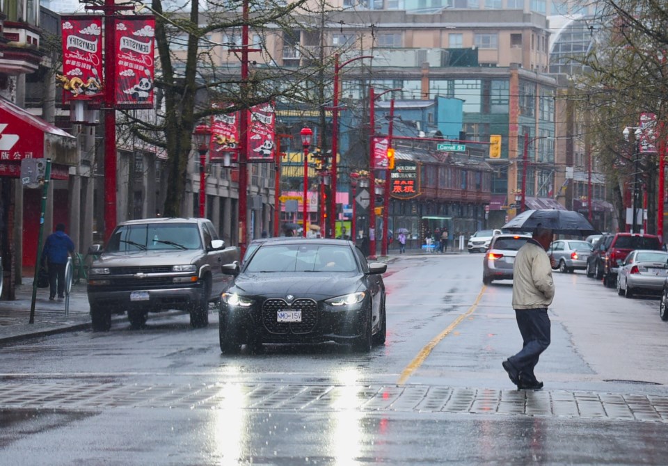
Metro Vancouverites hoping to enjoy some outdoor activities this week should keep their umbrellas handy.
Environment Canada Meteorologist Colin Fong says a series of systems will impact the Lower Mainland starting on Monday, March 10, with only minor reprieves over the next week.
"It's just going to be a wet week all together," he tells V.I.A., noting that Mother Nature has "opened up the floodgates to typical spring weather."
The most significant system kicks off overnight Monday, producing heavy rain before the morning on Tuesday as it moves south into the region and continues producing moisture through the day.
After that low-pressure system dissipates, another system is expected to bring precipitation to the region late Tuesday night, followed in quick succession by storms on Wednesday and Thursday. The timing and details of each system are uncertain but the weather models indicate they will create an overall "wet week."
"One system will batter our region one after the other into the weekend with not too much of a reprieve," Fong notes.
Metro Vancouver weather forecast includes possibility of wet snowfall this week
Temperatures are expected to remain close to seasonal averages through the wet week, with highs of approximately 10 C and lows around 3 C, but the snow levels are expected to be fairly low at around 500 metres. If rainfall is heavy enough, the snow levels could drop even lower (approximately 300 metres), producing wet snowfall at places at high elevations across the Lower Mainland, including Simon Fraser University in Burnaby and on the North Shore.
"This is good news for skiers," he adds, noting that it isn't unusual to see snow levels fluctuating in spring as it is a "transition period."
While Friday may see a bit of a break from the wet weather, some showers may occur throughout the day.
Fong adds that "there are hints" that a much stronger system will make its way into the Lower Mainland starting Saturday night and continuing through Sunday.
"There's a chance that it could impact us with a lot of rain and wind," he says, adding that it looks like a "fairly mature" and "juicy" system.
The centre point of the low-pressure system may move directly across Metro Vancouver, producing significant rain. If the system tracks further north, the region may be spared heavy precipitation.
Stay up-to-date with hyperlocal forecasts across 50 neighbourhoods in the Lower Mainland with V.I.A.'s Weatherhood.


